Map showing the park location. From Protected Planet.

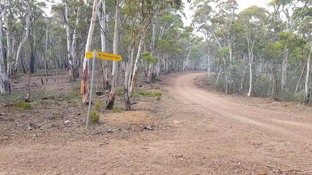
Came to the 4 way junction, Thornybrush Trail and Paupong Fire trail.
Continued along Paupong Trail , until reaching the SOTA "summit", actually just a high point in the terrain. The road runs right over the top of it. Map from SOTA maps, Google Map view
Set up the squid pole on a roadside Telstra cable sign.
Shack on the table. Note the haze, there was a bush fire well to the South of me close to the Victorian border.
Got on 40 m . Plenty of keen chasers as a Saturday morning. Most fairly strong signals
VK2IO
VK3CAT
VK3ZPF
VK1MIC
VK4TJ
VK3PF
VK2VIC
VK1VIC/2
VK3FPSR
VK2HRX
VK3ANL
VK3SQ
VK3ARH
VK2GKA
VK3HN
VK2ZRD
Tried changing the links to 20 m. There was summer sporadic e about so lots of calls there too, including some ZLs
VK3SQ
ZL1BYZ
VK2IO
VK3PF
VK3ARH
ZL2AJ
VK3GTV
VK5KLV
VK5PL
VK4HNS
ZL1WA
VK5ATN
After 28 contacts had morning tea and packed up, heading for my next park, Ironmungy Nature Reserve VKFF-2624


No comments:
Post a Comment