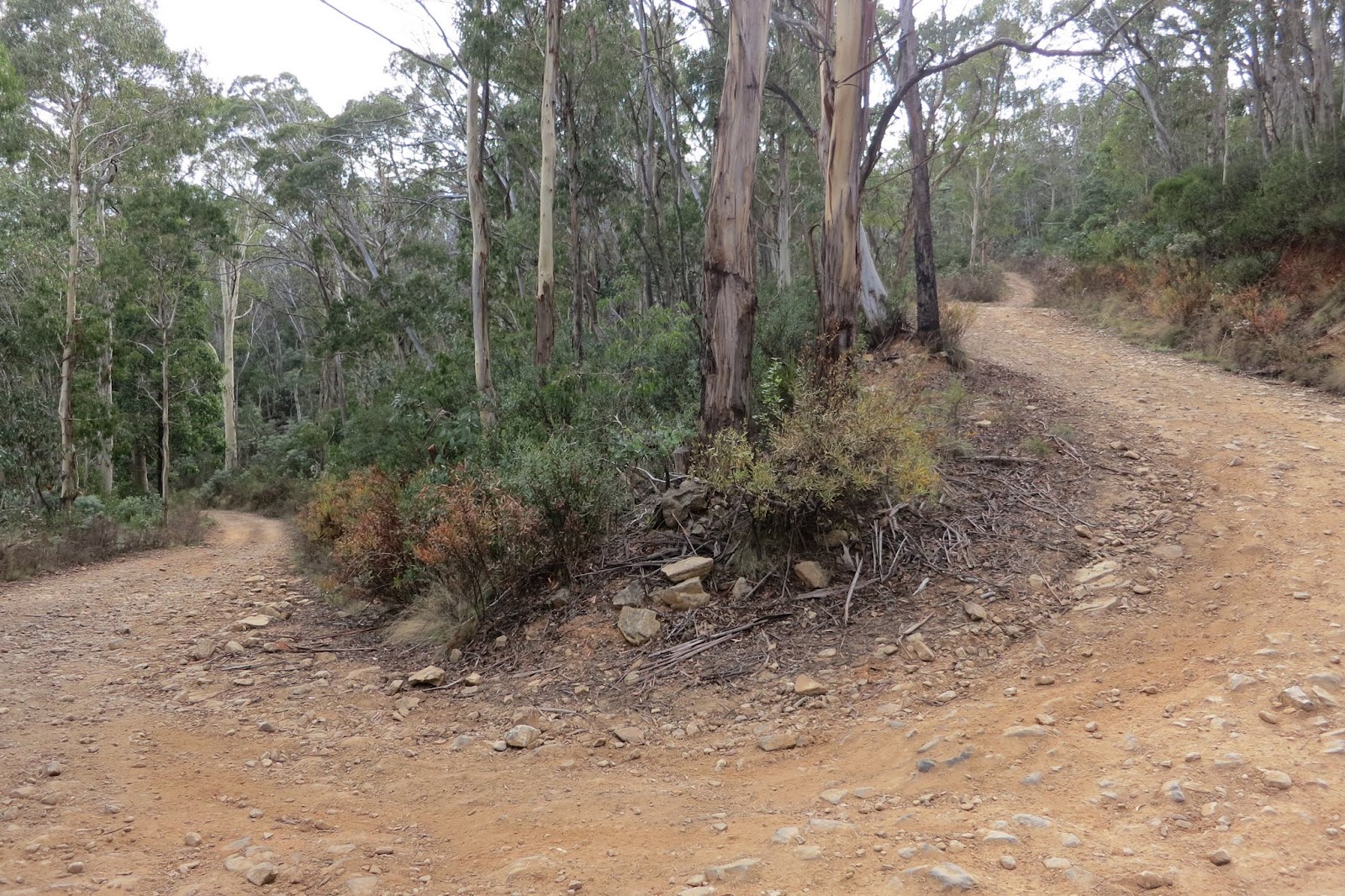
The road straight on is the Mt Franklin Rd, which you take if you are activating Mt Ginini or Mt Gingera, like VK1NAM Andrew and VK1RX Al were doing today. On the other side of the junction is Two Sticks Rd, which I drove down to Mt Coree (main road on the right)
Drove down Two Sticks Rd, a narrow dirt track. After a while the cliffs on the south side of Mt Coree came into view.
Thankfully Two Sticks Rd goes around this to the west. After passing around the side of Mt Coree there is a junction on the right with a sign to Mt Coree summit.
This continues past a camping area then starts to climb quite steeply up the side of Mt Coree.
Parked off the road on one of the bends and continued on foot. Some good views to the north
Finally just before Mt Coree summit there is a steep bit. This is usually where 4WDs come into play, quite rocky and a bit of clearance required. Although have seen the odd 2WD make it.
Just near the trig is a recently placed plaque explaining the initial surveying of the Australian Capital Territory border, it started from here over 100 years ago. The early surveyors had it tough, no roads back then and snow in the winter to battle through...
I set up my 7m squid pole on the trig and laid out the 40m dipole
The fire tower provided a handy support for one leg of the dipole.
Set up the FT817 and operated just under the trig.
I used the whip that came with the radio to get on 2m SSB, turned horizontal for beam users.
Worked Andrew VK1NAM on Mt Gingera with a booming 59+ signal! Although he did admit to running 30w and a beam...Also worked Andew VK2UH in Yass on a portable yagi.
Got on 40m, found most spots from 7.080 to 7.095 taken up with SOTA activators! Made several S2S contacts with VK1 and VK3, plus heaps of VK1s, VK2s and VK3s. All up around 37 contacts. Got quiet after lunch and headed home.


No comments:
Post a Comment